El Niño under way and threatens weather extremes, scientists say
El Niño - the natural Pacific weather pattern that pushes up global temperatures - has officially begun, US scientists say. The US National Oceanic and Atmospheric Administration (NOAA) has declared that El Niño conditions are now under way in the tropical Pacific, with sea surf
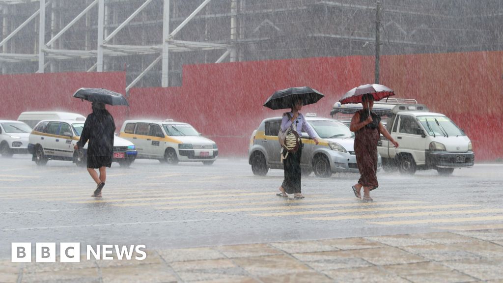
El Niño - the natural Pacific weather pattern that pushes up global temperatures - has officially begun, US scientists say.
The US National Oceanic and Atmospheric Administration (NOAA) has declared that El Niño conditions are now under way in the tropical Pacific, with sea surface temperatures having risen sharply in recent months.
Many forecasts suggest this could end up as a so-called "super" El Niño, and even be among the strongest ever recorded.
Coming on top of decades of human-caused warming, it could bring another record-hot year - most likely in 2027 - with disruption to weather, food supplies and economies running well into that year.
This announcement by NOAA is not a surprise as forecasters have expected this warming phase since the cooler "sister" pattern, La Niña, faded at the end of last year.
Sea surface temperatures in the central and tropical Pacific have now passed the 0.5C-above-average threshold that US scientists use to define an El Niño event.
NOAA has also seen the winds above the equatorial Pacific begin to shift - a sign that the atmosphere is now responding to the warmer ocean, not just the ocean warming on its own.
What has surprised the researchers is how confident the computer models already are about its strength.