NASA evaluates EarthDEM elevation products for climate research on October 19.
NASA's Quality Assessment Report, released on October 19, 2023, evaluates the accuracy and reliability of EarthDEM elevation products from the Polar Geospatial Center, highlighting their importance f…
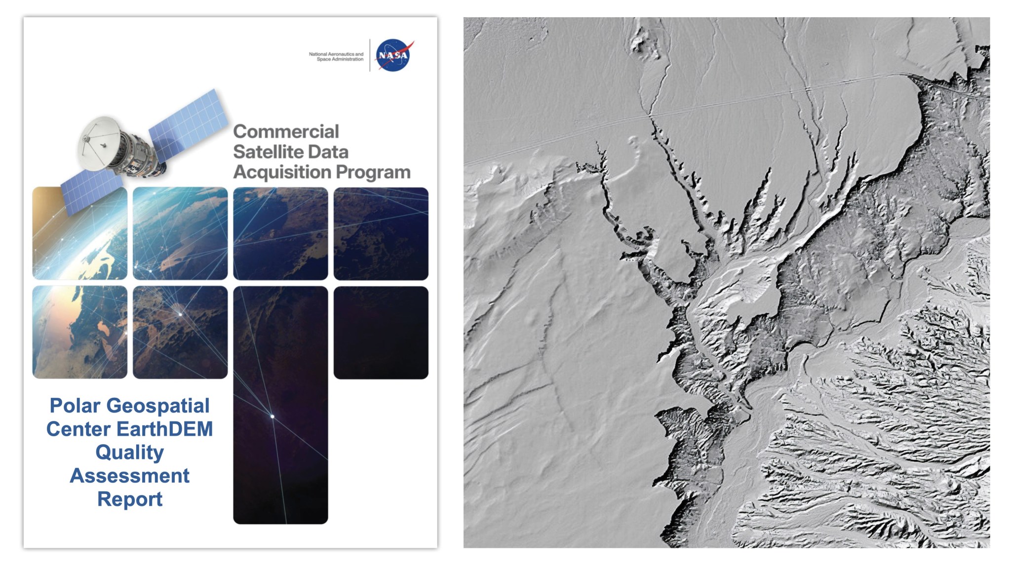
NASA's Quality Assessment Report has evaluated the EarthDEM elevation products provided by the Polar Geospatial Center (PGC). This assessment is part of a broader initiative by NASA's Commercial Small Business Innovation Research (CSDA) program, aimed at informing users about the accuracy and reliability of commercial Digital Elevation Models (DEMs). The report was released on October 19, 2023, following a comprehensive analysis of the EarthDEM data, which is vital for various applications, including climate research, urban planning, and disaster management.
The urgency of this assessment stems from the increasing reliance on high-quality elevation data in both scientific and commercial sectors. As climate change accelerates, accurate elevation models are essential for understanding sea-level rise and its impact on coastal communities. Additionally, with the growth of industries like renewable energy and infrastructure development, stakeholders need reliable data to inform their projects. The EarthDEM products provide a foundation for such work, making the quality assessment especially pertinent at this time.
The report outlined key metrics of the EarthDEM products, including vertical accuracy and data completeness. It highlighted that the elevation models produced by PGC exhibit a high degree of reliability, but also noted areas where improvements could be made. The assessment is expected to influence how these elevation products are utilized in future projects, as well as guide enhancements in data collection methods. Users looking to integrate EarthDEM into their work will benefit from understanding the strengths and limitations identified in the report.
Looking ahead, the PGC plans to address the findings of the Quality Assessment Report. This could lead to updates in data collection techniques and improvements in product delivery. As the demand for precise elevation data continues to grow, ongoing assessments like this one will be crucial for maintaining the integrity and applicability of EarthDEM products. The implications of these findings will resonate across multiple fields, emphasizing the need for continuous advancements in geospatial technology.
Read Full Story at NASA →